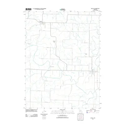
2011 Map of McFall
USGS Topo · Published 2011About this map
The town of McFall anchors the northwestern corner of this 2011 Missouri survey, situated where the terrain transitions into the fertile plains of Gentry County. This landscape is defined by the winding course of the Grand River, which meanders through the central and western sections of the quadrangle. The river valley is supported by a network of tributaries including Groomer Branch, Goose Creek, and Sampson Creek, reflecting a traditional agricultural drainage pattern.
Find a feature on this map
51 named features on this map. Tap any name to fly to it.
Don’t see what you’re looking for? This feature index may not catch every label — zoom into the map to look around manually.
Map Details
Editions of this 2011 McFall Map
This is the sole edition of this map. No revisions or reprints were ever made.
Other maps of this area

1923 · Maysville
USGS Topo · 1:62,500

1924 · Winston
USGS Topo · 1:62,500

1925 · Pattonsburg
USGS Topo · 1:62,500

1925 · Maysville
USGS Topo · 1:62,500

1925 · Darlington
USGS Topo · 1:62,500

1944 · Pattonsburg
USGS Topo · 1:62,500

1946 · Pattonsburg
USGS Topo · 1:48,000

1948 · Pattonsburg
USGS Topo · 1:62,500

1950 · Kansas City
USGS Topo · 1:250,000

1950 · Darlington
USGS Topo · 1:62,500