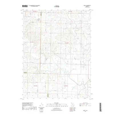
2017 Map of McFall
USGS Topo · Published 2017About this map
The town of McFall serves as a primary settlement in this section of northwest Missouri, situated near the intersection of the Gentry, Daviess, and DeKalb county lines. The landscape is defined by the winding course of the Grand River, which is joined by numerous tributaries including Sampson Cr and Groomer Br. The region's agricultural character is evidenced by a grid of rural roads like Abbey Rd and Haven Rd that navigate the undulating terrain between creek valleys. Local history is anchored by the McFall Cem north of town and the more isolated Savage Cem further south. The southern portion of the quadrangle shows the confluence of Muddy Cr and Grindstone Creek, illustrating the complex drainage patterns that historically shaped the placement of farmsteads and rural infrastructure in these border counties.
Find a feature on this map
44 named features on this map. Tap any name to fly to it.
Don’t see what you’re looking for? This feature index may not catch every label — zoom into the map to look around manually.
Map Details
Editions of this 2017 McFall Map
This is the sole edition of this map. No revisions or reprints were ever made.
Other maps of this area
1923 · Maysville
USGS Topo · 1:62,500
1924 · Winston
USGS Topo · 1:62,500
1925 · Pattonsburg
USGS Topo · 1:62,500
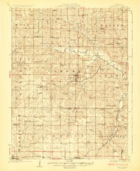
1925 · Maysville
USGS Topo · 1:62,500
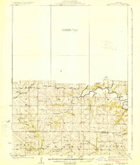
1925 · Darlington
USGS Topo · 1:62,500
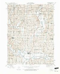
1944 · Pattonsburg
USGS Topo · 1:62,500
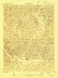
1946 · Pattonsburg
USGS Topo · 1:48,000
1948 · Pattonsburg
USGS Topo · 1:62,500
1950 · Kansas City
USGS Topo · 1:250,000
1950 · Darlington
USGS Topo · 1:62,500