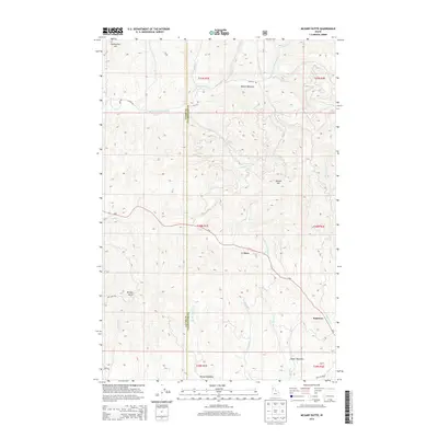
2014 Map of McGary Butte
USGS Topo · Published 2014About this map
E Fork Potlatch River winds through the northern drainage of this timbered landscape along the boundary of Latah Co and Clearwater Co. The area is characterized by high meadows and prominent peaks, including Jackson Mtn and McGary Butte, which overlook a network of seasonal and perennial streams like Ruby Cr and Butterfield Cr. Small settlements such as Neva and Kameron sit along the path of Id-8, the primary transit corridor through these uplands. This 2014 survey reveals a landscape defined by its forestry infrastructure, where a dense system of Forest Service routes like NFD 512 RD and NFD 3306 TRL provide access to the high plateaus and grazing lands of Bloom Meadows and Oviatt Meadows.
Find a feature on this map
37 named features on this map. Tap any name to fly to it.
Don’t see what you’re looking for? This feature index may not catch every label — zoom into the map to look around manually.
Map Details
Editions of this 2014 McGary Butte Map
This is the sole edition of this map. No revisions or reprints were ever made.
Other maps of this area
1955 · Pullman
USGS Topo · 1:250,000
1958 · Pullman
USGS Topo · 1:250,000
1961 · Ahsahka
USGS Topo · 1:62,500
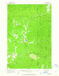
1961 · Bovill
USGS Topo · 1:62,500
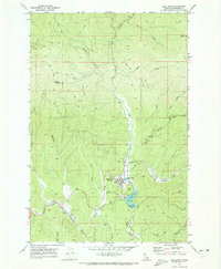
1969 · Elk River
USGS Topo · 1:24,000
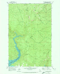
1969 · Elk Creek Falls
USGS Topo · 1:24,000
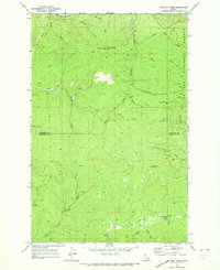
1969 · Anthony Peak
USGS Topo · 1:24,000
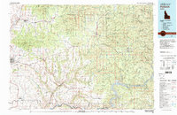
1981 · Potlatch
USGS Topo · 1:100,000
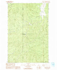
1990 · Bechtel Butte
USGS Topo · 1:24,000
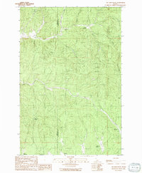
1990 · Mc Gary Butte
USGS Topo · 1:24,000