
1969 Map of Elk River
USGS Topo · Published 1973About this map
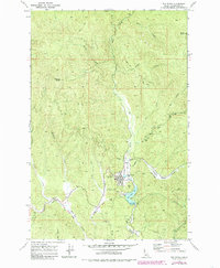
Elk River serves as the primary settlement on this 1969 survey, situated at the confluence of several mountain drainages and the Chicago Milwaukee St Paul and Pacific railroad line. The landscape is defined by the timbered slopes of Shattuck Butte and Tick Ridge, with water management clearly indicated by the Elk Creek Res and its associated Spillway.
Find a feature on this map
39 named features on this map. Tap any name to fly to it.
Don’t see what you’re looking for? This feature index may not catch every label — zoom into the map to look around manually.
Map Details
Editions of this 1969 Elk River Map
2 editions found
Other maps of this area

1955 · Pullman
USGS Topo · 1:250,000

1958 · Pullman
USGS Topo · 1:250,000

1961 · Ahsahka
USGS Topo · 1:62,500

1961 · Bovill
USGS Topo · 1:62,500

1969 · Elk Creek Falls
USGS Topo · 1:24,000
1969 · Elk Butte
USGS Topo · 1:24,000

1969 · Anthony Peak
USGS Topo · 1:24,000
1969 · Little Green Mountain
USGS Topo · 1:24,000
1969 · Grice Ridge
USGS Topo · 1:24,000

1981 · Potlatch
USGS Topo · 1:100,000