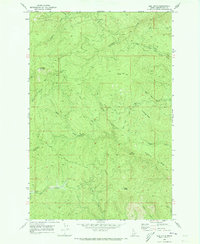
1969 Map of Elk Butte
USGS Topo · Published 1973About this map
Elk Butte Lookout Tower stands as the primary landmark in this Clearwater County landscape, overlooking a network of drainages and former logging operations. The map documents several historical locations, notably including Diamond Match Camp (Site) and Johnson Camp (Site), which suggest the era's timber industry footprint. These sites are linked by a rugged transportation network consisting of the Burma Road and numerous unnamed Jeep Trails that traverse the ridges and valley floors.
Find a feature on this map
29 named features on this map. Tap any name to fly to it.
Don’t see what you’re looking for? This feature index may not catch every label — zoom into the map to look around manually.
Map Details
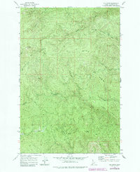
Editions of this 1969 Elk Butte Map
2 editions found
Other maps of this area

1923 · Washington Creek
USGS Topo · 1:125,000

1936 · Boehls Butte
USGS Topo · 1:48,000

1938 · Headquarters
USGS Topo · 1:48,000

1943 · Boehls Butte
USGS Topo · 1:62,500

1944 · Headquarters
USGS Topo · 1:62,500

1955 · Pullman
USGS Topo · 1:250,000

1956 · Hamilton
USGS Topo · 1:250,000

1958 · Pullman
USGS Topo · 1:250,000

1959 · Hamilton
USGS Topo · 1:250,000

1960 · Hamilton
USGS Topo · 1:250,000