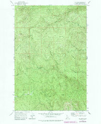
1969 Map of Elk Butte
USGS Topo · Published 1984About this map
Elk Butte stands as the dominant summit in this high-altitude landscape of Clearwater County, topped by a Lookout Tower that surveys the surrounding timberlands. The 1969 field survey reveals a region defined by industrial history and rugged access, where former logging hubs are noted only as remnants, including the Diamond Match Camp (Site) and Camp 43 (Site). These locations, along with Captains Cabin (Site) and Johnson Camp (Site), mark a transition from active timber extraction to forest management.
Find a feature on this map
28 named features on this map. Tap any name to fly to it.
Don’t see what you’re looking for? This feature index may not catch every label — zoom into the map to look around manually.
Map Details
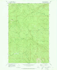
Editions of this 1969 Elk Butte Map
2 editions found
Other maps of this area

1923 · Washington Creek
USGS Topo · 1:125,000

1936 · Boehls Butte
USGS Topo · 1:48,000

1938 · Headquarters
USGS Topo · 1:48,000

1943 · Boehls Butte
USGS Topo · 1:62,500

1944 · Headquarters
USGS Topo · 1:62,500

1955 · Pullman
USGS Topo · 1:250,000

1956 · Hamilton
USGS Topo · 1:250,000

1958 · Pullman
USGS Topo · 1:250,000

1959 · Hamilton
USGS Topo · 1:250,000

1960 · Hamilton
USGS Topo · 1:250,000