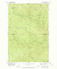
1969 Map of Grice Ridge
USGS Topo · Published 1973About this map
St Joe National Forest dominates this high-elevation landscape, where the rugged topography of Northern Idaho is defined by the prominent Grice Ridge. This 1969 field-checked survey documents a wilderness area shaped by logging and forestry management, centered on the Shoshone Co Clearwater Co boundary. The map provides a detailed view of the remote camps and critical infrastructure of the era, including the Freezeout Lookout Tower and Freezeout Camp in the northern reaches, as well as the former Camp 40 (Site) located in the heart of the terrain.
Find a feature on this map
24 named features on this map. Tap any name to fly to it.
Don’t see what you’re looking for? This feature index may not catch every label — zoom into the map to look around manually.
Map Details
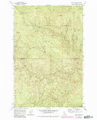
Editions of this 1969 Grice Ridge Map
2 editions found
Other maps of this area

1914 · Avery
USGS Topo · 1:125,000

1917 · Avery
USGS Topo · 1:125,000

1923 · Washington Creek
USGS Topo · 1:125,000

1936 · Boehls Butte
USGS Topo · 1:48,000

1943 · Boehls Butte
USGS Topo · 1:62,500

1955 · Pullman
USGS Topo · 1:250,000

1955 · Spokane
USGS Topo · 1:250,000

1956 · Wallace
USGS Topo · 1:250,000

1956 · Hamilton
USGS Topo · 1:250,000

1958 · Spokane
USGS Topo · 1:250,000