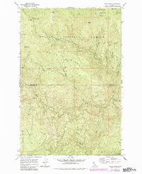
1969 Map of Grice Ridge
USGS Topo · Published 1984About this map
High-altitude logging and forest management patterns emerge across the St Joe National Forest in this late-1960s survey, updated with mid-1980s aerial data. The terrain is defined by its significant drainage networks, where the North Fork and Stony Creek carve through the steep topography of Grice Ridge. Evidence of backcountry operations is visible at Camp 40 (Site) and Freezeout Camp, while the presence of the Freezeout Lookout atop Freezeout Mtn highlights the area's role in fire surveillance.
Find a feature on this map
27 named features on this map. Tap any name to fly to it.
Don’t see what you’re looking for? This feature index may not catch every label — zoom into the map to look around manually.
Map Details
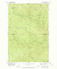
Editions of this 1969 Grice Ridge Map
2 editions found
Other maps of this area

1914 · Avery
USGS Topo · 1:125,000

1917 · Avery
USGS Topo · 1:125,000

1923 · Washington Creek
USGS Topo · 1:125,000

1936 · Boehls Butte
USGS Topo · 1:48,000

1943 · Boehls Butte
USGS Topo · 1:62,500

1955 · Pullman
USGS Topo · 1:250,000

1955 · Spokane
USGS Topo · 1:250,000

1956 · Wallace
USGS Topo · 1:250,000

1956 · Hamilton
USGS Topo · 1:250,000

1958 · Spokane
USGS Topo · 1:250,000