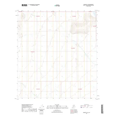
2019 Map of McGrath D-1 NE
USGS Topo · Published 2019About this map
Tonzona River and the Little Tonzona River carve through this remote Alaskan interior landscape, defining a complex drainage system within the Unorganized Borough. This 2019 survey captures a wilderness dominated by hydrographic networks, where the Clear Fork and Pingston Creek (also labeled as Pingston Cr) meander through township and range sections that show no established road infrastructure or permanent settlements. The map's detail is focused on the subtle topographic shifts of the river basins, including the headwaters of Jones Cr and its northern fork. This documentation of the Medfra and McGrath quadrangle boundary areas is essential for understanding the hydrological connectivity of the region, providing a baseline for the natural drainage patterns of the N Fork Jones Cr and surrounding tributaries.
Find a feature on this map
17 named features on this map. Tap any name to fly to it.
Don’t see what you’re looking for? This feature index may not catch every label — zoom into the map to look around manually.
Map Details
Editions of this 2019 McGrath D-1 NE Map
This is the sole edition of this map. No revisions or reprints were ever made.
Other maps of this area
1949 · McGrath
USGS Topo · 1:250,000
1950 · Medfra
USGS Topo · 1:250,000
1950 · McGrath
USGS Topo · 1:250,000
1950 · Talkeetna
USGS Topo · 1:250,000
1951 · Talkeetna
USGS Topo · 1:250,000
1952 · Mount McKinley
USGS Topo · 1:250,000
1958 · Talkeetna D-6
USGS Topo · 1:63,360
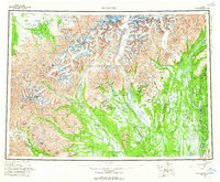
1958 · Talkeetna
USGS Topo · 1:250,000
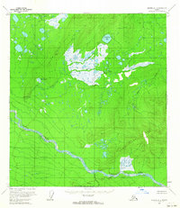
1958 · Medfra A-1
USGS Topo · 1:63,360
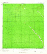
1958 · McGrath D-1
USGS Topo · 1:63,360