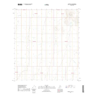
2019 Map of McGrath D-1 NW
USGS Topo · Published 2019About this map
Birch Hills dominates the northeastern corner of this interior Alaskan landscape, providing a rare point of significant elevation in a region otherwise defined by complex drainage patterns. The hydrology of the area is centered on the Little Tonzona River, which meanders across the southern sections of the quadrangle. This 2019 survey illustrates the dense network of tributaries that feed the regional basin, including the Clear Fork and the waters of Jones Cr. The map reveals a wild, unpopulated territory within the Yukon-Koyukuk Census Area, where the movement of water across the terrain is the primary driver of the landscape. Researchers can trace the path of the S Fork Jones Cr as it winds through the central valley, illustrating the natural state of the Alaskan interior before any significant infrastructure development.
Find a feature on this map
14 named features on this map. Tap any name to fly to it.
Don’t see what you’re looking for? This feature index may not catch every label — zoom into the map to look around manually.
Map Details
Editions of this 2019 McGrath D-1 NW Map
This is the sole edition of this map. No revisions or reprints were ever made.
Other maps of this area

1949 · McGrath
USGS Topo · 1:250,000

1950 · Medfra
USGS Topo · 1:250,000

1950 · McGrath
USGS Topo · 1:250,000

1958 · McGrath D-2
USGS Topo · 1:63,360

1958 · Medfra A-2
USGS Topo · 1:63,360

1958 · Medfra A-1
USGS Topo · 1:63,360

1958 · McGrath D-1
USGS Topo · 1:63,360

1958 · McGrath
USGS Topo · 1:250,000

1959 · Medfra
USGS Topo · 1:250,000
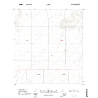
2017 · McGrath D-1 NE
USGS Topo · 1:25,000