
2019 Map of McGrath D-1 SW
USGS Topo · Published 2019About this map
Big Salmon Fork defines the southwestern corner of this interior Alaskan landscape, winding through a region marked by extensive wetland systems and subtle elevation changes. The hydrology is dominated by Deepbank Cr, which meanders across the central and eastern sections of the quadrangle, joined by smaller tributaries like No Cr. This 2019 survey by the U.S. Geological Survey illustrates a wilderness largely defined by its natural drainage patterns rather than human infrastructure, as no roads, settlements, or structures are noted within the township boundaries of T31N and T32N. The map provides a clear record of the Kuskokwim River watershed's upper reaches, where the complex lattice of seasonal streams and ponds shapes the movement of the terrain.
Find a feature on this map
9 named features on this map. Tap any name to fly to it.
Don’t see what you’re looking for? This feature index may not catch every label — zoom into the map to look around manually.
Map Details
Editions of this 2019 McGrath D-1 SW Map
This is the sole edition of this map. No revisions or reprints were ever made.
Other maps of this area

1949 · McGrath
USGS Topo · 1:250,000

1950 · McGrath
USGS Topo · 1:250,000

1958 · McGrath D-2
USGS Topo · 1:63,360

1958 · McGrath C-1
USGS Topo · 1:63,360

1958 · McGrath C-2
USGS Topo · 1:63,360

1958 · McGrath D-1
USGS Topo · 1:63,360

1958 · McGrath
USGS Topo · 1:250,000
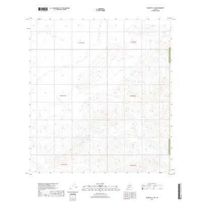
2017 · McGrath C-1 NE
USGS Topo · 1:25,000
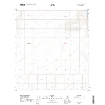
2017 · McGrath D-1 NE
USGS Topo · 1:25,000
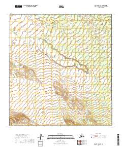
2019 · McGrath D-2 SE
USGS Topo · 1:25,000