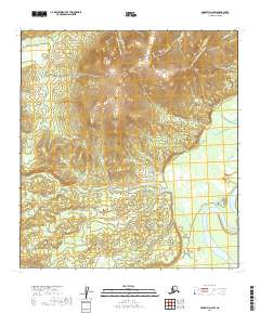
2019 Map of McGrath D-6 SW
USGS Topo · Published 2019About this map
The Kuskokwim River meanders through the southeastern corner of this quadrangle, defining a landscape dominated by expansive wetlands and the prominent Candle Hills. This interior Alaskan territory in the Yukon-Koyukuk region is traversed by the Sterling Landing-Takotna-Ophir Road, a critical overland route connecting remote districts. The drainage network is dense with tributaries like Candle Cr, Rex Cr, and Cash Cr, which flow from the higher elevations of the hills toward the river valley. The map reveals the intricate hydrology of the Kuskokwim basin, where the primary river channel is flanked by a complex system of side channels and oxbow features like Carl Cr, typical of this dynamic subarctic fluvial environment.
Find a feature on this map
11 named features on this map. Tap any name to fly to it.
Don’t see what you’re looking for? This feature index may not catch every label — zoom into the map to look around manually.
Map Details
Editions of this 2019 McGrath D-6 SW Map
This is the sole edition of this map. No revisions or reprints were ever made.
Other maps of this area

1949 · McGrath
USGS Topo · 1:250,000

1950 · McGrath
USGS Topo · 1:250,000

1951 · Iditarod
USGS Topo · 1:250,000

1954 · McGrath D-6
USGS Topo · 1:63,360

1954 · McGrath C-6
USGS Topo · 1:63,360
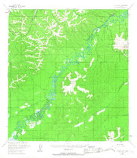
1954 · Iditarod D-1
USGS Topo · 1:63,360
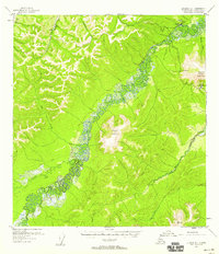
1955 · Iditarod D-1
USGS Topo · 1:63,360
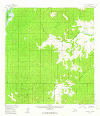
1956 · Iditarod C-1
USGS Topo · 1:63,360

1956 · Iditarod
USGS Topo · 1:250,000

1958 · McGrath
USGS Topo · 1:250,000