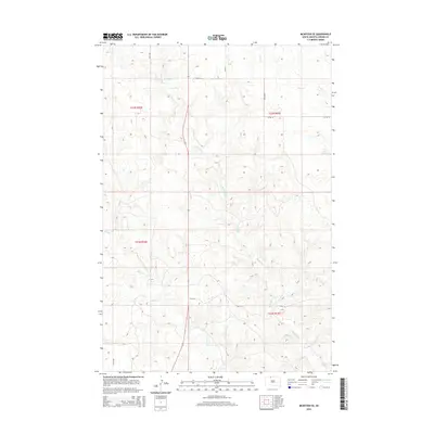
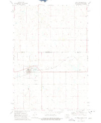
2015 Map of McIntosh SE
USGS Topo · Published 2015About this map
White Shirt Cr meanders through the heart of this Corson County landscape, defining the drainage patterns of the Rock Creek District. The terrain is a network of coulees and prairie draws, where Hump Cr and Stink Cr carve into the high plains of the Standing Rock Reservation. This 2015 survey illustrates a land organized by a rigid section grid, with rural section lines like 238th Ave and 107th St serving as the primary infrastructure for local ranching and agricultural travel. The sparse placement of these routes highlights the expansive, open nature of this prairie region, where water sources like White Shirt Cr remain the most significant landmarks on the natural horizon.
Find a feature on this map
14 named features on this map. Tap any name to fly to it.
Don’t see what you’re looking for? This feature index may not catch every label — zoom into the map to look around manually.
Map Details
Editions of this 2015 McIntosh SE Map
This is the sole edition of this map. No revisions or reprints were ever made.
Other maps of this area

1953 · McIntosh
USGS Topo · 1:250,000
1956 · Black Horse NE
USGS Topo · 1:24,000
1956 · Black Horse
USGS Topo · 1:24,000
1956 · Miscol
USGS Topo · 1:24,000
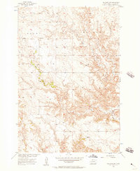
1956 · Bullhead SW
USGS Topo · 1:24,000

1958 · McIntosh
USGS Topo · 1:250,000
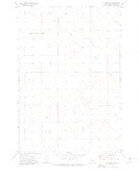
1972 · McIntosh SW
USGS Topo · 1:24,000
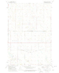
1972 · Hump Butte
USGS Topo · 1:24,000
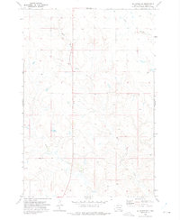
1972 · McIntosh SE
USGS Topo · 1:24,000
1972 · McIntosh
USGS Topo · 1:24,000