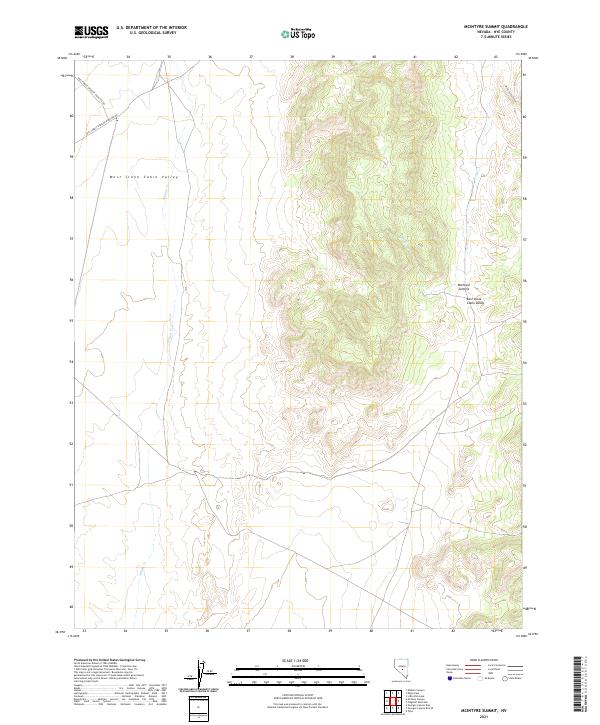
2021 Map of McIntyre Summit
USGS Topo · Published 2021About this map
The central highlands of the McIntyre Summit divide two distinct drainage basins in this high-desert portion of Nye County. The map details the transition between West Stone Cabin Valley and East Stone Cabin Valley, where seasonal watercourses like Willow Cr and Hot Cr define the hydrological landscape. These ephemeral streams are critical markers for understanding the historical movement of livestock and people through this arid terrain. Access to the higher elevations is provided by the Natl Forest Develop Road 402 Rd and Natl Forest Develop Road 006 Rd, which traverse the northern section toward White Rocks Canyon. The surveying grid of the Public Land Survey System remains the primary framework for land management in this sparsely populated region.
Find a feature on this map
16 named features on this map. Tap any name to fly to it.
Don’t see what you’re looking for? This feature index may not catch every label — zoom into the map to look around manually.
Map Details
Editions of this 2021 McIntyre Summit Map
This is the sole edition of this map. No revisions or reprints were ever made.
Other maps of this area

1956 · Tonopah
USGS Topo · 1:250,000

1959 · Tonopah
USGS Topo · 1:250,000

1962 · Tonopah
USGS Topo · 1:250,000

1968 · Tybo
USGS Topo · 1:62,500

1968 · Morey Peak
USGS Topo · 1:62,500
1968 · Flagstaff Mtn.
USGS Topo · 1:24,000
1968 · Tybo
USGS Topo · 1:24,000
1968 · Little Fish Lake
USGS Topo · 1:24,000
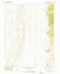
1971 · Georges Canyon Rim SE
USGS Topo · 1:24,000
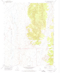
1971 · McIntyre Summit
USGS Topo · 1:24,000