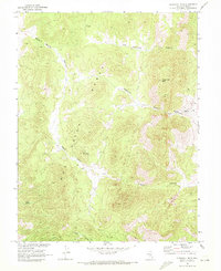
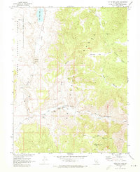
1968 Map of Flagstaff Mtn.
USGS Topo · Published 1972About this map
The high ridges of the Hot Creek Range dominate this central Nevada landscape, mapped in cooperation with the Atomic Energy Commission. Evidence of early industrial activity and resource extraction is scattered throughout the drainages, notably at Kiln and Kilns locations, alongside various Prospect sites. The terrain is defined by deep cuts such as Old Dominion Canyon and Tybo Canyon, which likely served as primary corridors for movement through the mountains. Water remains the critical resource for any activity in this environment, with remote points like Italian Spring and Keystone Spring serving as vital landmarks. High peaks such as Flagstaff Mtn and Cine Mountain provide the primary navigational relief for the network of unimproved tracks and a Jeep Trail that cross the canyons.
Find a feature on this map
16 named features on this map. Tap any name to fly to it.
Don’t see what you’re looking for? This feature index may not catch every label — zoom into the map to look around manually.
Map Details
Editions of this 1968 Flagstaff Mtn. Map
2 editions found
Other maps of this area

1956 · Tonopah
USGS Topo · 1:250,000

1959 · Tonopah
USGS Topo · 1:250,000

1962 · Tonopah
USGS Topo · 1:250,000

1967 · Blue Jay Spring
USGS Topo · 1:24,000

1967 · Tybo SE
USGS Topo · 1:24,000

1968 · Tybo
USGS Topo · 1:62,500

1968 · Morey Peak
USGS Topo · 1:62,500
1968 · Hobble Canyon
USGS Topo · 1:24,000
1968 · Tybo
USGS Topo · 1:24,000
1968 · Little Fish Lake
USGS Topo · 1:24,000