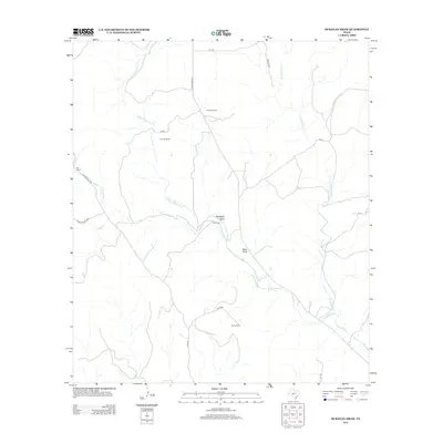
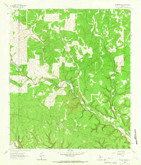
2012 Map of McKegan Draw
USGS Topo · Published 2012About this map
The branching headwaters of Copperas Creek dominate this Kimble County landscape, where the seasonal hydrology is defined by the Middle Copperas Cr, E Copperas Cr, and W Copperas Cr. The terrain is marked by significant drainages such as McKegan Draw and Baker Draw, which channel the limited rainfall through this ranching region. Settlement patterns reflect the expansive nature of West Texas landholdings, with named properties like Chadwick Ranch, Holland Ranch, and the F-6 Ranch serving as the primary landmarks in an area otherwise characterized by thin limestone soils and scrub vegetation.
Find a feature on this map
22 named features on this map. Tap any name to fly to it.
Don’t see what you’re looking for? This feature index may not catch every label — zoom into the map to look around manually.
Map Details
Editions of this 2012 McKegan Draw Map
This is the sole edition of this map. No revisions or reprints were ever made.
Other maps of this area
1893 · Rock Springs
USGS Topo · 1:125,000
1893 · Fort McKavett
USGS Topo · 1:125,000
1932 · Junction
USGS Topo · 1:62,500
1954 · Llano
USGS Topo · 1:250,000

1954 · Sonora
USGS Topo · 1:250,000
1955 · Llano
USGS Topo · 1:250,000
1956 · Llano
USGS Topo · 1:250,000

1958 · Sonora
USGS Topo · 1:250,000
1962 · Roosevelt
USGS Topo · 1:24,000
1963 · McKegan Draw
USGS Topo · 1:24,000