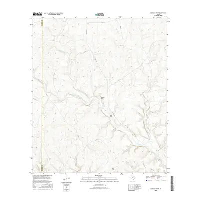
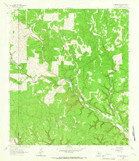
2016 Map of McKegan Draw
USGS Topo · Published 2016About this map
Middle Copperas Cr and its various branches, including W Copperas Cr and E Copperas Cr, define the drainage patterns of this Kimble County landscape. This 2016 survey shows a territory dominated by significant topographic depressions and ranching infrastructure, located along the county line where Sutton Co meets Kimble Co. The presence of Rafter D Ranch Rd and numerous unnamed ranch roads suggests a landscape shaped by large-scale livestock operations. Geomorphological features such as McKegan Draw, Baker Draw, and the curiously named Spring Hollow provide a detailed look at the Edwards Plateau's characteristic erosion patterns. The sparse development, concentrated primarily along Ranch Rd 1674 and Ranch Rd 2597, reflects the enduring rural character of this West Texas region.
Find a feature on this map
22 named features on this map. Tap any name to fly to it.
Don’t see what you’re looking for? This feature index may not catch every label — zoom into the map to look around manually.
Map Details
Editions of this 2016 McKegan Draw Map
This is the sole edition of this map. No revisions or reprints were ever made.
Other maps of this area
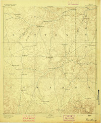
1893 · Rock Springs
USGS Topo · 1:125,000
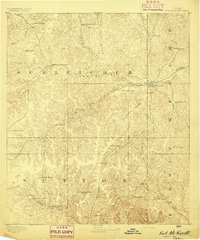
1893 · Fort McKavett
USGS Topo · 1:125,000
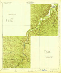
1932 · Junction
USGS Topo · 1:62,500
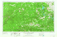
1954 · Llano
USGS Topo · 1:250,000

1954 · Sonora
USGS Topo · 1:250,000
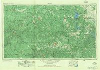
1955 · Llano
USGS Topo · 1:250,000
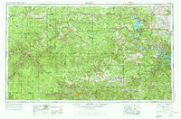
1956 · Llano
USGS Topo · 1:250,000

1958 · Sonora
USGS Topo · 1:250,000
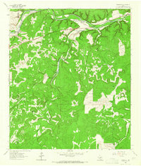
1962 · Roosevelt
USGS Topo · 1:24,000
1963 · McKegan Draw
USGS Topo · 1:24,000