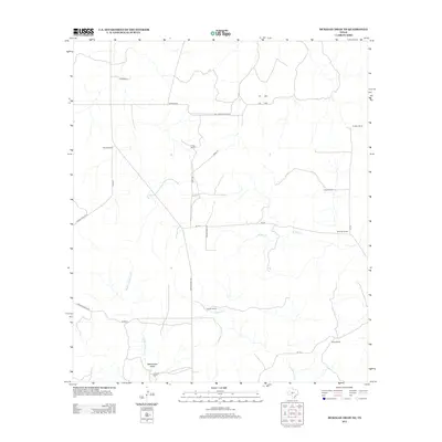
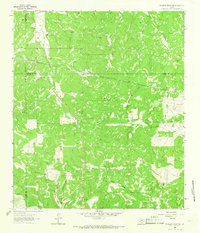
2012 Map of McKegan Draw NE
USGS Topo · Published 2012About this map
Graham Ranch and Holland Ranch are central landmarks in this high-plains region of Schleicher County, where the landscape is defined by its deep ranching heritage. The drainage patterns of Middle Copperas Cr, E Copperas Cr, and W Bear Cr carve subtle pathways through the terrain, eventually converging toward Rattlesnake Draw in the south. This area is a network of legacy family holdings, with established properties like the Morales Ranch, Lehne Ranch, and the Johnston Ranch connected by a web of local roads such as Ranch Road 1674 and Morales Rd. The map illustrates a rural Texas economy sustained by large-scale livestock operations and decentralized homesteads, where water sources and family-named pastures remain the primary points of orientation across the wide, open range.
Find a feature on this map
26 named features on this map. Tap any name to fly to it.
Don’t see what you’re looking for? This feature index may not catch every label — zoom into the map to look around manually.
Map Details
Editions of this 2012 McKegan Draw NE Map
This is the sole edition of this map. No revisions or reprints were ever made.
Other maps of this area
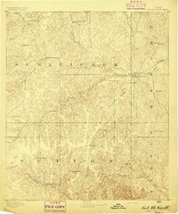
1893 · Fort McKavett
USGS Topo · 1:125,000
1954 · Llano
USGS Topo · 1:250,000

1954 · Sonora
USGS Topo · 1:250,000
1955 · Llano
USGS Topo · 1:250,000
1956 · Llano
USGS Topo · 1:250,000

1958 · Sonora
USGS Topo · 1:250,000
1963 · McKegan Draw
USGS Topo · 1:24,000
1963 · Brokeleg Mountain
USGS Topo · 1:24,000
1963 · Coal Kiln Draw
USGS Topo · 1:24,000
1963 · McKegan Draw NE
USGS Topo · 1:24,000