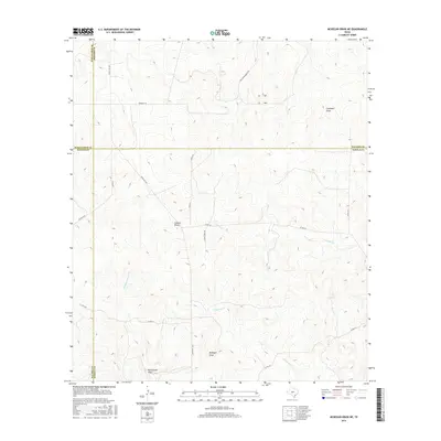
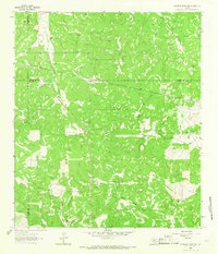
2016 Map of McKegan Draw NE
USGS Topo · Published 2016About this map
McKegan Draw and its surrounding watershed define this Texas landscape, where the borders of four counties—Schleicher, Menard, Sutton, and Kimble—converge in a complex intersection of survey lines. The topography is characterized by a network of drainage channels including Campbell Draw, Colston Draw, and Rattlesnake Draw, which carve through the Edwards Plateau terrain. Human presence is marked by a sparse network of ranch roads and lanes, such as Ranch Rd 1674 and Morales Ln, which follow the contours of the land rather than a strict grid. The map also traces the upper reaches of E Copperas Cr and W Bear Cr, illustrating the hydrological patterns of this sparsely populated ranching region.
Find a feature on this map
24 named features on this map. Tap any name to fly to it.
Don’t see what you’re looking for? This feature index may not catch every label — zoom into the map to look around manually.
Map Details
Editions of this 2016 McKegan Draw NE Map
This is the sole edition of this map. No revisions or reprints were ever made.
Other maps of this area
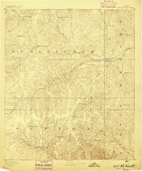
1893 · Fort McKavett
USGS Topo · 1:125,000
1954 · Llano
USGS Topo · 1:250,000

1954 · Sonora
USGS Topo · 1:250,000
1955 · Llano
USGS Topo · 1:250,000
1956 · Llano
USGS Topo · 1:250,000

1958 · Sonora
USGS Topo · 1:250,000
1963 · McKegan Draw
USGS Topo · 1:24,000
1963 · Brokeleg Mountain
USGS Topo · 1:24,000
1963 · Coal Kiln Draw
USGS Topo · 1:24,000
1963 · McKegan Draw NE
USGS Topo · 1:24,000