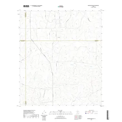
2019 Map of McKegan Draw NE
USGS Topo · Published 2019About this map
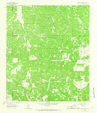
Ranch Rd 1674 serves as the primary artery through this West Texas ranching landscape, where the borders of Schleicher, Sutton, Menard, and Kimble counties converge. The terrain is defined by a dense network of seasonal drainages, including the branching headwaters of Middle Copperas Cr and E Copperas Cr, alongside deep incisions like Rattlesnake Draw and Colston Draw. These features dictate the placement of ranch access roads such as Mc Gowan Ranch Rd and Morales Ln, which navigate the high divides between creek beds. The map illustrates a modern pattern of land management where traditional ranching territory is accessed via named private tracks like Trophy Trl and residential-style naming conventions such as Ridge Top Dr and E Ridge Dr, indicating contemporary subdivision or specialized usage of the historical range.
Find a feature on this map
29 named features on this map. Tap any name to fly to it.
Don’t see what you’re looking for? This feature index may not catch every label — zoom into the map to look around manually.
Map Details
Editions of this 2019 McKegan Draw NE Map
This is the sole edition of this map. No revisions or reprints were ever made.
Other maps of this area
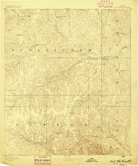
1893 · Fort McKavett
USGS Topo · 1:125,000
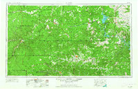
1954 · Llano
USGS Topo · 1:250,000

1954 · Sonora
USGS Topo · 1:250,000
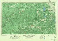
1955 · Llano
USGS Topo · 1:250,000
1956 · Llano
USGS Topo · 1:250,000

1958 · Sonora
USGS Topo · 1:250,000
1963 · McKegan Draw
USGS Topo · 1:24,000
1963 · Brokeleg Mountain
USGS Topo · 1:24,000
1963 · Coal Kiln Draw
USGS Topo · 1:24,000
1963 · McKegan Draw NE
USGS Topo · 1:24,000