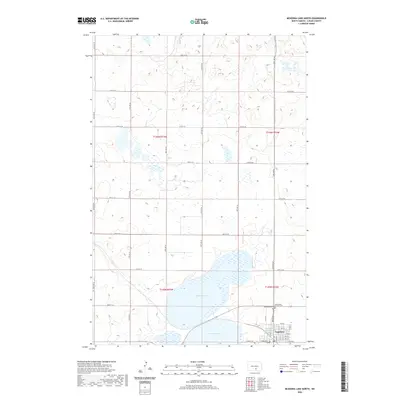
2020 Map of McKenna Lake North
USGS Topo · Published 2020About this map
The prairie landscape of south-central North Dakota is dominated by the sprawling waters of McKenna Lake, which occupies a significant portion of the southern township sections. The city of Napoleon sits at the southeastern edge of the lake, serving as a focal point for the region's agricultural and social life. The map reveals a highly structured grid of section lines and gravel roads, including 29th Ave SE and 60th St SE, which define the agrarian layout of the surrounding plains.
Find a feature on this map
37 named features on this map. Tap any name to fly to it.
Don’t see what you’re looking for? This feature index may not catch every label — zoom into the map to look around manually.
Map Details
Editions of this 2020 McKenna Lake North Map
This is the sole edition of this map. No revisions or reprints were ever made.
Other maps of this area

1953 · Jamestown
USGS Topo · 1:250,000

1956 · Jamestown
USGS Topo · 1:250,000

1975 · Kintyre
USGS Topo · 1:24,000

1979 · Kintyre NE
USGS Topo · 1:24,000

1979 · Schell Buttes NW
USGS Topo · 1:24,000

1979 · McKenna Lake South
USGS Topo · 1:24,000

1980 · McKenna Lake North
USGS Topo · 1:24,000

1982 · Burnstad
USGS Topo · 1:24,000

1983 · Alkaline Lake SW
USGS Topo · 1:24,000

1983 · Alkaline Lake NW
USGS Topo · 1:24,000