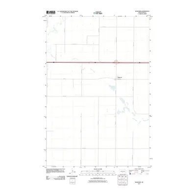
2011 Map of McKenzie
USGS Topo · Published 2011About this map
McKenzie sits at the heart of this landscape, positioned where the historical corridor of Hwy-10 and Main Ave meet the modern transportation network. The area is defined by its subtle drainage patterns, specifically the winding course of Apple Creek in the northwest and the intermittent path of Random Creek, which meanders across the central and southern sections. The map reveals a highly structured grid of section roads, including 57th Ave NE and 249th St NE, illustrating the persistent agricultural footprint of Burleigh County in the early 21st century. This survey documents the spatial relationship between the small settlement of McKenzie and the surrounding prairie wetlands, providing a clear record of the local road names and water features that define this part of the North Dakota plains.
Find a feature on this map
23 named features on this map. Tap any name to fly to it.
Don’t see what you’re looking for? This feature index may not catch every label — zoom into the map to look around manually.
Map Details
Editions of this 2011 McKenzie Map
This is the sole edition of this map. No revisions or reprints were ever made.
Other maps of this area

1907 · Bismarck
USGS Topo · 1:125,000

1951 · Menoken
USGS Topo · 1:62,500

1951 · McKenzie
USGS Topo · 1:62,500

1954 · Bismarck
USGS Topo · 1:250,000

1958 · Bismarck
USGS Topo · 1:250,000

1971 · Huff NE
USGS Topo · 1:24,000

1971 · Moffit NW
USGS Topo · 1:24,000

1971 · Moffit
USGS Topo · 1:24,000

1975 · McKenzie
USGS Topo · 1:24,000

1975 · Sibley Butte
USGS Topo · 1:24,000