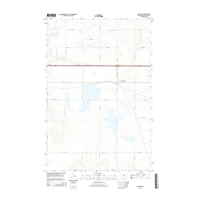
2014 Map of McKenzie
USGS Topo · Published 2014About this map
McKenzie sits at the heart of this Burleigh County landscape, positioned where the transport lines of the central North Dakota plains converge. The terrain is defined by the winding paths of Apple Cr and Random Cr, which cut through a grid of rural section roads. This 2014 survey illustrates a transition in local infrastructure, anchored by the junction of major thoroughfares like Cr-10 and Lincoln Rd. The map captures the agricultural character of the region, showing how modern corridors like Interstate 94 and Highway 83 have been integrated into the older surveyor's grid of numbered avenues and streets, such as 57th Ave NE and 249th St NE, which stretch across the prairie to serve remote farmsteads.
Find a feature on this map
27 named features on this map. Tap any name to fly to it.
Don’t see what you’re looking for? This feature index may not catch every label — zoom into the map to look around manually.
Map Details
Editions of this 2014 McKenzie Map
This is the sole edition of this map. No revisions or reprints were ever made.
Other maps of this area
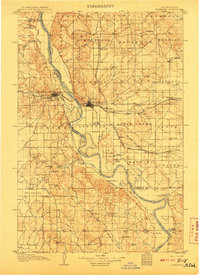
1907 · Bismarck
USGS Topo · 1:125,000
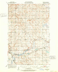
1951 · Menoken
USGS Topo · 1:62,500
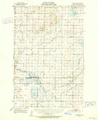
1951 · McKenzie
USGS Topo · 1:62,500
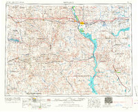
1954 · Bismarck
USGS Topo · 1:250,000
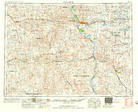
1958 · Bismarck
USGS Topo · 1:250,000
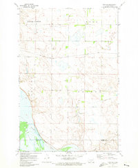
1971 · Huff NE
USGS Topo · 1:24,000
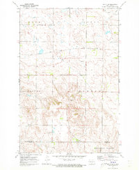
1971 · Moffit NW
USGS Topo · 1:24,000
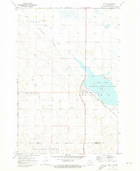
1971 · Moffit
USGS Topo · 1:24,000
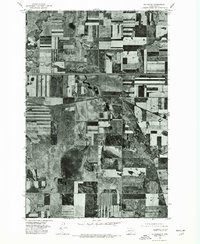
1975 · McKenzie
USGS Topo · 1:24,000
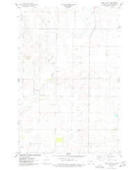
1975 · Sibley Butte
USGS Topo · 1:24,000