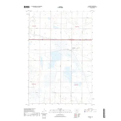
2017 Map of McKenzie
USGS Topo · Published 2017About this map
McKenzie sits at a strategic transit point in Burleigh County, where the plains are defined by intricate seasonal wetlands and winding drainages. The landscape is characterized by the presence of the McKenzie Slough, a large wetland area that historically influenced the placement of local roads and rail lines. Several branches of Random Creek meander across the terrain, contributing to the prairie pothole geography typical of this region. Local history is anchored by the Pleasant View Cem situated near the settlement, while the road network—including the long-established Co Hwy 10 and Lincoln Rd—reveals a grid-based development pattern typical of North Dakota's agricultural heartland. These features together show a community built around the challenges and opportunities of the eastern Missouri River plateau.
Find a feature on this map
23 named features on this map. Tap any name to fly to it.
Don’t see what you’re looking for? This feature index may not catch every label — zoom into the map to look around manually.
Map Details
Editions of this 2017 McKenzie Map
This is the sole edition of this map. No revisions or reprints were ever made.
Other maps of this area
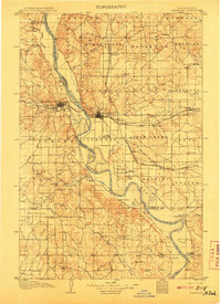
1907 · Bismarck
USGS Topo · 1:125,000
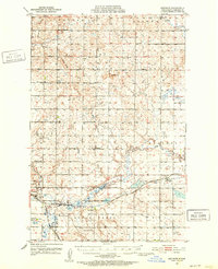
1951 · Menoken
USGS Topo · 1:62,500
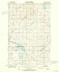
1951 · McKenzie
USGS Topo · 1:62,500
1954 · Bismarck
USGS Topo · 1:250,000
1958 · Bismarck
USGS Topo · 1:250,000
1971 · Huff NE
USGS Topo · 1:24,000
1971 · Moffit NW
USGS Topo · 1:24,000
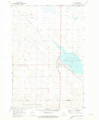
1971 · Moffit
USGS Topo · 1:24,000
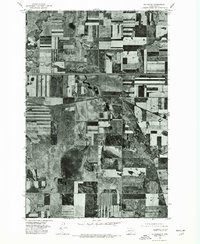
1975 · McKenzie
USGS Topo · 1:24,000
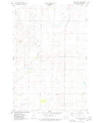
1975 · Sibley Butte
USGS Topo · 1:24,000