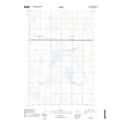
2020 Map of McKenzie
USGS Topo · Published 2020About this map
McKenzie sits at a critical junction of transport and terrain in North Dakota's Burleigh County, where the plains are defined by intricate drainage systems and low-lying wetlands. The landscape is dominated by the expansive McKenzie Slough, a significant hydrologic feature that transitions into the meandering paths of Random Creek and Random Cr. This area represents a classic prairie settlement pattern, where the township and range grid, including t139n r77w, dictates the placement of rural roads like Lincoln Rd and Co Hwy 10. Local history and genealogy are anchored at the Pleasant View Cem, located just east of the primary settlement. The northern reaches are shaped by the flow of Apple Cr, illustrating the vital role these seasonal watercourses play in the agricultural geography of the region.
Find a feature on this map
19 named features on this map. Tap any name to fly to it.
Don’t see what you’re looking for? This feature index may not catch every label — zoom into the map to look around manually.
Map Details
Editions of this 2020 McKenzie Map
This is the sole edition of this map. No revisions or reprints were ever made.
Other maps of this area

1907 · Bismarck
USGS Topo · 1:125,000

1951 · Menoken
USGS Topo · 1:62,500

1951 · McKenzie
USGS Topo · 1:62,500

1954 · Bismarck
USGS Topo · 1:250,000

1958 · Bismarck
USGS Topo · 1:250,000

1971 · Huff NE
USGS Topo · 1:24,000

1971 · Moffit NW
USGS Topo · 1:24,000

1971 · Moffit
USGS Topo · 1:24,000

1975 · McKenzie
USGS Topo · 1:24,000

1975 · Sibley Butte
USGS Topo · 1:24,000