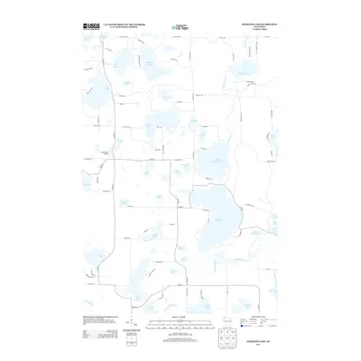
2013 Map of McKenzie Lake
USGS Topo · Published 2013About this map
McKenzie Lake dominates this northern Wisconsin glacial landscape, part of a dense chain of water bodies that includes Middle McKenzie Lake and Lower McKenzie Lake. The region is defined by these diverse hydrographic features, from the large expanse of Nicaboyne Lake to smaller basins like Cranberry Lake, Lily Lake, and Goose Lake. These waters are connected by a network of drainage systems including McKenzie Creek and Rocky Ridge Creek, illustrating the complex hydrology typical of Burnett County's lake country.
Find a feature on this map
97 named features on this map. Tap any name to fly to it.
Don’t see what you’re looking for? This feature index may not catch every label — zoom into the map to look around manually.
Map Details
Editions of this 2013 McKenzie Lake Map
This is the sole edition of this map. No revisions or reprints were ever made.
Other maps of this area

1947 · Minong
USGS Topo · 1:48,000

1948 · Spooner
USGS Topo · 1:48,000

1949 · Hertel
USGS Topo · 1:48,000

1949 · Minong
USGS Topo · 1:48,000

1949 · Webb Lake
USGS Topo · 1:48,000

1949 · Spooner
USGS Topo · 1:48,000

1953 · Ashland
USGS Topo · 1:250,000

1953 · Duluth
USGS Topo · 1:250,000

1953 · Rice Lake
USGS Topo · 1:250,000

1953 · Stillwater
USGS Topo · 1:250,000