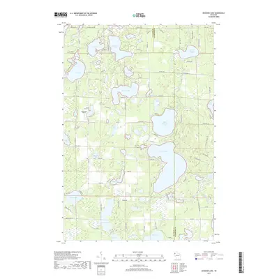
2018 Map of McKenzie Lake
USGS Topo · Published 2018About this map
The northern reaches of the Wisconsin lake country are defined by an intricate network of glacial basins and watercourses spanning the boundary between Burnett Co and Washburn Co. At the heart of this landscape lies a chain of major water bodies including McKenzie Lake, Middle McKenzie Lake, and Lower McKenzie Lake, which are linked by the winding course of McKenzie Creek. This 2018 survey reveals the development of seasonal and year-round properties clustered around these shores, served by a local road network featuring names like Nicaboyne Lake Rd and Lakewood RD.
Find a feature on this map
105 named features on this map. Tap any name to fly to it.
Don’t see what you’re looking for? This feature index may not catch every label — zoom into the map to look around manually.
Map Details
Editions of this 2018 McKenzie Lake Map
This is the sole edition of this map. No revisions or reprints were ever made.
Other maps of this area

1947 · Minong
USGS Topo · 1:48,000

1948 · Spooner
USGS Topo · 1:48,000

1949 · Hertel
USGS Topo · 1:48,000

1949 · Minong
USGS Topo · 1:48,000

1949 · Webb Lake
USGS Topo · 1:48,000

1949 · Spooner
USGS Topo · 1:48,000

1953 · Ashland
USGS Topo · 1:250,000

1953 · Duluth
USGS Topo · 1:250,000

1953 · Rice Lake
USGS Topo · 1:250,000

1953 · Stillwater
USGS Topo · 1:250,000