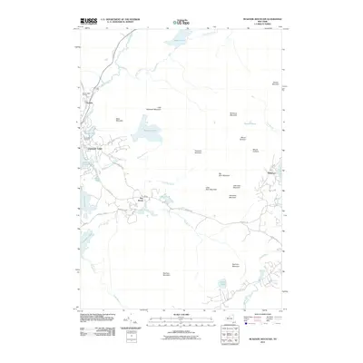
2010 Map of McKenzie Mountain
USGS Topo · Published 2010About this map
Saranac Lake serves as the primary hub for this Adirondack landscape, where the Saranac River flows toward the north and east. The community is marked by the Pine Ridge Cemetery and recreational landmarks like the Mount Pisgah Ski Area. Moving east, the terrain becomes increasingly complex, dominated by a series of significant peaks including McKenzie Mountain, Haystack Mountain, and Scarface Mountain. The settlement of Ray Brook sits nestled along the Ray Brook Rd corridor, acting as a gateway between the major water bodies of Lake Flower and Oseetah Lake.
Find a feature on this map
49 named features on this map. Tap any name to fly to it.
Don’t see what you’re looking for? This feature index may not catch every label — zoom into the map to look around manually.
Map Details
Editions of this 2010 McKenzie Mountain Map
This is the sole edition of this map. No revisions or reprints were ever made.
Other maps of this area

1895 · Mt. Marcy
USGS Topo · 1:62,500

1896 · Lake Placid
USGS Topo · 1:62,500

1898 · Lake Placid
USGS Topo · 1:62,500

1902 · Mt. Marcy
USGS Topo · 1:62,500

1902 · Saranac
USGS Topo · 1:62,500

1904 · Saranac
USGS Topo · 1:62,500

1904 · Santanoni
USGS Topo · 1:62,500

1948 · Ogdensburg
USGS Topo · 1:250,000

1950 · Lake Champlain
USGS Topo · 1:250,000

1951 · Ogdensburg
USGS Topo · 1:250,000