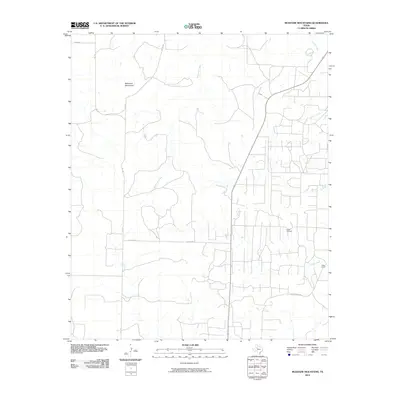
2010 Map of McKenzie Mountains
USGS Topo · Published 2010About this map
The McKenzie Mountains dominate the northwestern portion of this West Texas landscape, giving way to a network of drainage systems that define the local geography. Significant watercourses including McKenzie Creek, Maverick Creek, and Rough Creek carve through the terrain, illustrating the hydrologic patterns of the region. The map reflects a landscape defined by ranching and energy extraction, centered around the prominent Fuller Ranch and the adjacent Fuller Oil Field. A structured grid of county roads, such as Co RD 2148 and Fuller Ranch Rd, provides access to these rural properties. The density of industrial infrastructure within the oil field, contrasted with the open reaches near Ennis Creek, highlights the primary economic drivers of the area during the early 21st century.
Find a feature on this map
15 named features on this map. Tap any name to fly to it.
Don’t see what you’re looking for? This feature index may not catch every label — zoom into the map to look around manually.
Map Details
Editions of this 2010 McKenzie Mountains Map
This is the sole edition of this map. No revisions or reprints were ever made.
Other maps of this area

1954 · Lloyd Mountain
USGS Topo · 1:24,000

1954 · Dermott
USGS Topo · 1:24,000

1954 · Brand
USGS Topo · 1:24,000

1954 · Lubbock
USGS Topo · 1:250,000

1954 · Big Spring
USGS Topo · 1:250,000

1958 · Big Spring
USGS Topo · 1:250,000

1969 · Justiceburg SE
USGS Topo · 1:24,000

1969 · Maverick Creek
USGS Topo · 1:24,000

1969 · Cooper Mountain
USGS Topo · 1:24,000

1969 · Flat Top Mountain
USGS Topo · 1:24,000