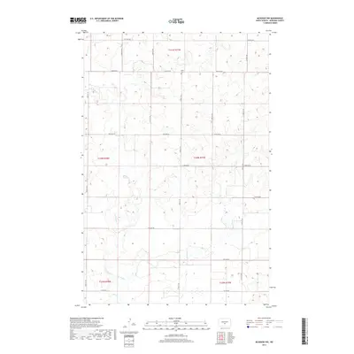
2017 Map of McKenzie NW
USGS Topo · Published 2017About this map
Apple Creek and its major tributaries define the drainage patterns of this Burleigh County landscape, where the prairie is etched by the West Branch and East Branch. The area is structured by a rigorous grid of section lines and township boundaries, including t140n r77w and t141n r77w. A primary point of interest for local historians is the Sibley Cemetery, located near 162nd Avenue NE. The map captures a transition between the elevated plains and the wetland-spotted lowlands, with several roads like 136th Avenue NE and 71st Avenue NE providing access to the rural homesteads scattered across the townships.
Find a feature on this map
17 named features on this map. Tap any name to fly to it.
Don’t see what you’re looking for? This feature index may not catch every label — zoom into the map to look around manually.
Map Details
Editions of this 2017 McKenzie NW Map
This is the sole edition of this map. No revisions or reprints were ever made.
Other maps of this area
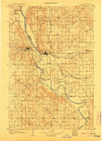
1907 · Bismarck
USGS Topo · 1:125,000
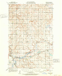
1951 · Menoken
USGS Topo · 1:62,500
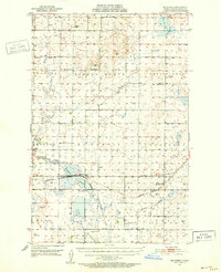
1951 · McKenzie
USGS Topo · 1:62,500
1954 · Bismarck
USGS Topo · 1:250,000
1954 · McClusky
USGS Topo · 1:250,000
1958 · Bismarck
USGS Topo · 1:250,000
1958 · McClusky
USGS Topo · 1:250,000
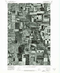
1975 · McKenzie
USGS Topo · 1:24,000
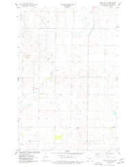
1975 · Sibley Butte
USGS Topo · 1:24,000
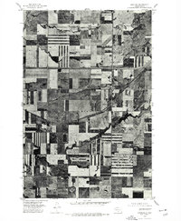
1975 · Sterling
USGS Topo · 1:24,000