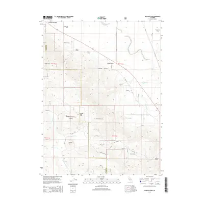
2015 Map of McKesick Peak
USGS Topo · Published 2015About this map
The Diamond Mountains dominate this high-altitude landscape where the Sierra Nevada meets the Great Basin. Centered on the rugged McKesick Peak, the terrain falls away into the Honey Lake Valley to the north and the deep drainages of the Plumas National Forest to the south. This 2015 survey reveals a sparse network of mountain roads and remote outposts, including Herlong Junction and Cannon Field. The hydrological pattern is defined by the headwaters of the Last Chance Cr and Little Last Chance Creek, which carve through steep-walled features like Porter Canyon and Wagner Canyon. Evidence of land management and recreation appears through specifically named routes such as Plinco Mine Rd and the Bird Creek Spur, serving a region where ranching and forestry remain the primary human imprints on the land.
Find a feature on this map
51 named features on this map. Tap any name to fly to it.
Don’t see what you’re looking for? This feature index may not catch every label — zoom into the map to look around manually.
Map Details
Editions of this 2015 McKesick Peak Map
This is the sole edition of this map. No revisions or reprints were ever made.
Other maps of this area
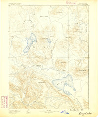
1886 · Honey Lake
USGS Topo · 1:250,000
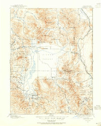
1890 · Sierraville
USGS Topo · 1:125,000
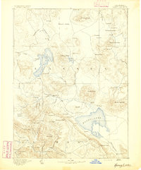
1891 · Honey Lake
USGS Topo · 1:250,000
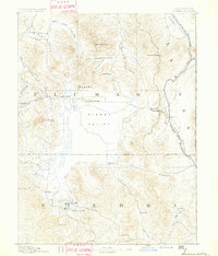
1892 · Sierraville
USGS Topo · 1:125,000
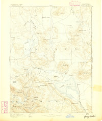
1893 · Honey Lake
USGS Topo · 1:250,000
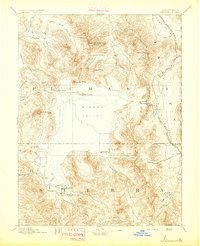
1894 · Sierraville
USGS Topo · 1:125,000
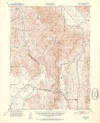
1950 · Chilcoot
USGS Topo · 1:62,500
1950 · Portola
USGS Topo · 1:62,500
1950 · Milford
USGS Topo · 1:62,500
1954 · Doyle
USGS Topo · 1:62,500