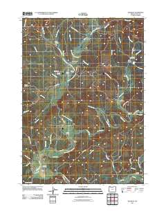
2011 Map of McKinley
USGS Topo · Published 2011About this map
The North Fork Coquille River and its numerous tributaries, including Middle Creek, define the settlement patterns of this corner of Coos County. Small communities like Fairview, McKinley, and Lee Valley are connected by a network of winding roads such as the Fairview-McKinley Rd and Lee Valley Rd. The presence of multiple crossing points, including the Fairview Bridge, Lone Pine Bridge, and Hervey Bridge, underscores the importance of the river system to local transport and access.
Find a feature on this map
63 named features on this map. Tap any name to fly to it.
Don’t see what you’re looking for? This feature index may not catch every label — zoom into the map to look around manually.
Map Details
Editions of this 2011 McKinley Map
This is the sole edition of this map. No revisions or reprints were ever made.
Other maps of this area
1896 · Coos Bay
USGS Topo · 1:125,000
1898 · Coos Bay
USGS Topo · 1:125,000
1900 · Coos Bay
USGS Topo · 1:125,000
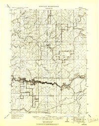
1928 · Sitkum
USGS Topo · 1:125,000
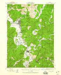
1942 · Coquille
USGS Topo · 1:62,500
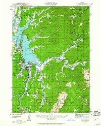
1942 · Coos Bay
USGS Topo · 1:62,500
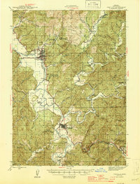
1945 · Coquille
USGS Topo · 1:62,500
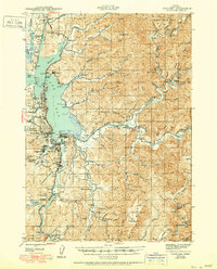
1945 · Coos Bay
USGS Topo · 1:62,500
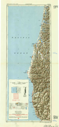
1954 · Coos Bay
USGS Topo · 1:250,000
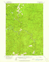
1955 · Ivers Peak
USGS Topo · 1:62,500