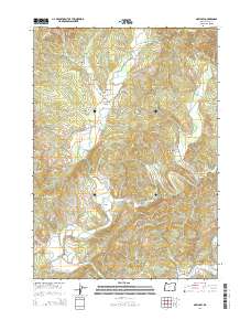
2014 Map of McKinley
USGS Topo · Published 2014About this map
McKinley and Fairview anchor this 2014 survey of the Coos County backcountry, where the North Fork Coquille River and its numerous tributaries dictate the local topography. This region is characterized by a complex network of ridges and drainages, including Blue Ridge and Rink Peak, which frame the agricultural and residential pockets of Lee Valley and Burton Prairie. The river's influence on transportation and settlement is evident through features like the Fairview Bridge and Hervey Bridge.
Find a feature on this map
64 named features on this map. Tap any name to fly to it.
Don’t see what you’re looking for? This feature index may not catch every label — zoom into the map to look around manually.
Map Details
Editions of this 2014 McKinley Map
This is the sole edition of this map. No revisions or reprints were ever made.
Other maps of this area
1896 · Coos Bay
USGS Topo · 1:125,000
1898 · Coos Bay
USGS Topo · 1:125,000
1900 · Coos Bay
USGS Topo · 1:125,000
1928 · Sitkum
USGS Topo · 1:125,000
1942 · Coquille
USGS Topo · 1:62,500
1942 · Coos Bay
USGS Topo · 1:62,500
1945 · Coquille
USGS Topo · 1:62,500
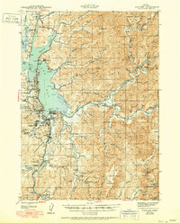
1945 · Coos Bay
USGS Topo · 1:62,500
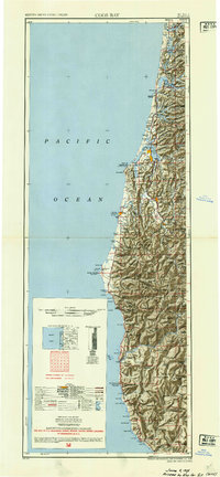
1954 · Coos Bay
USGS Topo · 1:250,000
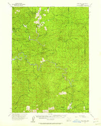
1955 · Ivers Peak
USGS Topo · 1:62,500