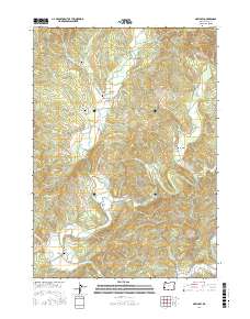
2017 Map of McKinley
USGS Topo · Published 2017About this map
The North Fork Coquille River carves through this Coos County landscape, providing the central axis for early transport and settlement. Historically significant routes like the Coos Bay Wagon Rd and Fairview Rd connect the small communities of Fairview, McKinley, and Lee Valley. The map records several legacy burial grounds, including Morris-Baker Cem near the river and Fox Cem to the south, which serve as critical markers for genealogists and local historians. This era of the landscape is defined by its water crossings and topographic landmarks, such as Burton Prairie and Rink Peak. Significant river engineering is evidenced by the named bridges, including Lone Pine Bridge and Hervey Bridge, which facilitate the winding network of county roads and Bureau of Land Management routes. Small tributaries like Middle Creek and Yankee Run flow through the timbered sections, highlighting the traditional drainage patterns of the Oregon Coast Range.
Find a feature on this map
65 named features on this map. Tap any name to fly to it.
Don’t see what you’re looking for? This feature index may not catch every label — zoom into the map to look around manually.
Map Details
Editions of this 2017 McKinley Map
This is the sole edition of this map. No revisions or reprints were ever made.
Other maps of this area
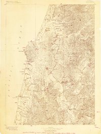
1896 · Coos Bay
USGS Topo · 1:125,000
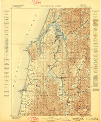
1898 · Coos Bay
USGS Topo · 1:125,000
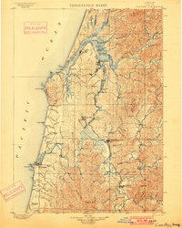
1900 · Coos Bay
USGS Topo · 1:125,000
1928 · Sitkum
USGS Topo · 1:125,000
1942 · Coquille
USGS Topo · 1:62,500
1942 · Coos Bay
USGS Topo · 1:62,500
1945 · Coquille
USGS Topo · 1:62,500
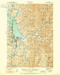
1945 · Coos Bay
USGS Topo · 1:62,500
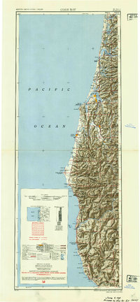
1954 · Coos Bay
USGS Topo · 1:250,000
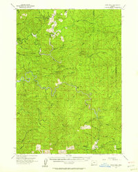
1955 · Ivers Peak
USGS Topo · 1:62,500