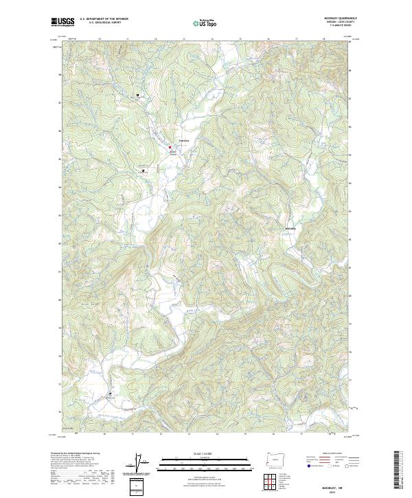
2023 Map of McKinley
USGS Topo · Published 2023About this map
Fairview and McKinley serve as the primary hubs in this corner of Coos County, where the North Fork Coquille River and its numerous tributaries carve through the timbered heights of Blue Ridge and Rink Peak. The landscape is defined by its drainages, including Middle Creek, Yankee Run, and Wood Creek, which have historically dictated the placement of roads and small valley settlements. Genealogy researchers will find several well-documented burial sites such as Morris - Baker Cem, Fairview Cem, and Bridge Cem, which anchor the local family histories of the area.
Find a feature on this map
58 named features on this map. Tap any name to fly to it.
Don’t see what you’re looking for? This feature index may not catch every label — zoom into the map to look around manually.
Map Details
Editions of this 2023 McKinley Map
This is the sole edition of this map. No revisions or reprints were ever made.
Other maps of this area

1896 · Coos Bay
USGS Topo · 1:125,000

1898 · Coos Bay
USGS Topo · 1:125,000

1900 · Coos Bay
USGS Topo · 1:125,000

1928 · Sitkum
USGS Topo · 1:125,000

1942 · Coquille
USGS Topo · 1:62,500

1942 · Coos Bay
USGS Topo · 1:62,500

1945 · Coquille
USGS Topo · 1:62,500

1945 · Coos Bay
USGS Topo · 1:62,500

1954 · Coos Bay
USGS Topo · 1:250,000

1955 · Ivers Peak
USGS Topo · 1:62,500