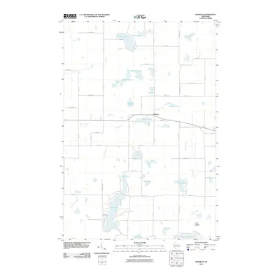
2010 Map of McKinley
USGS Topo · Published 2010About this map
McKinley sits as the central hub of this Wisconsin landscape, where a dense network of glacial lakes and waterways dictates the local geography. Large bodies of water like Pipe Lake and Largon Lake dominate the terrain, connected by the paths of Sucker Creek and Staples Creek. This 2010 survey illustrates a rural interior transition, where the grid of county roads—such as Polk Barron St and County Line St—navigates around numerous smaller basins like Wintergreen Lake, Ember Lake, and Martel Lake. The map reveals a community defined by its relationship to the water, shown through the clusters of development near the lakeshores and the presence of Morts Landing Airport in the southeastern quadrant. Researchers can observe how the residential and agricultural layout is heavily influenced by the irregular shoreline of Lake of the Woods and the wetlands surrounding Blueberry Lake.
Find a feature on this map
50 named features on this map. Tap any name to fly to it.
Don’t see what you’re looking for? This feature index may not catch every label — zoom into the map to look around manually.
Map Details
Editions of this 2010 McKinley Map
This is the sole edition of this map. No revisions or reprints were ever made.
Other maps of this area

1950 · Balsam Lake
USGS Topo · 1:62,500

1950 · Turtle Lake
USGS Topo · 1:62,500

1951 · Cumberland
USGS Topo · 1:48,000

1951 · Frederic
USGS Topo · 1:48,000

1952 · Turtle Lake
USGS Topo · 1:62,500

1953 · Stillwater
USGS Topo · 1:250,000

1955 · Frederic
USGS Topo · 1:62,500

1955 · Stillwater
USGS Topo · 1:250,000

1956 · Cumberland
USGS Topo · 1:62,500

1958 · Stillwater
USGS Topo · 1:250,000