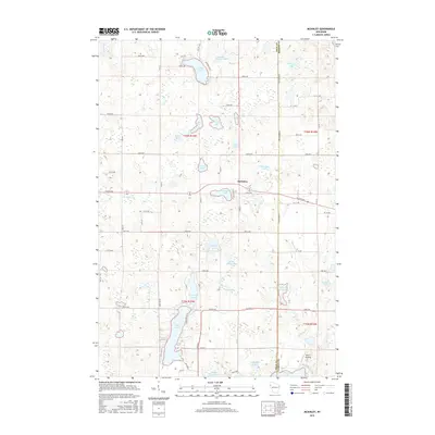
2015 Map of McKinley
USGS Topo · Published 2015About this map
McKinley sits at the heart of this glacial landscape, serving as a focal point for the surrounding agricultural and recreational lands. The geography is defined by a dense concentration of small water bodies, ranging from the expansive Pipe Lake and Largon Lake to more secluded spots like Miller Camp Lake and Lake of the Woods. These lakes and their connecting waterways, including Sucker Cr and Staples Cr, illustrate a complex hydrographic network that has historically supported seasonal residency and local recreation.
Find a feature on this map
62 named features on this map. Tap any name to fly to it.
Don’t see what you’re looking for? This feature index may not catch every label — zoom into the map to look around manually.
Map Details
Editions of this 2015 McKinley Map
This is the sole edition of this map. No revisions or reprints were ever made.
Other maps of this area

1950 · Balsam Lake
USGS Topo · 1:62,500

1950 · Turtle Lake
USGS Topo · 1:62,500

1951 · Cumberland
USGS Topo · 1:48,000

1951 · Frederic
USGS Topo · 1:48,000

1952 · Turtle Lake
USGS Topo · 1:62,500

1953 · Stillwater
USGS Topo · 1:250,000

1955 · Frederic
USGS Topo · 1:62,500

1955 · Stillwater
USGS Topo · 1:250,000

1956 · Cumberland
USGS Topo · 1:62,500

1958 · Stillwater
USGS Topo · 1:250,000