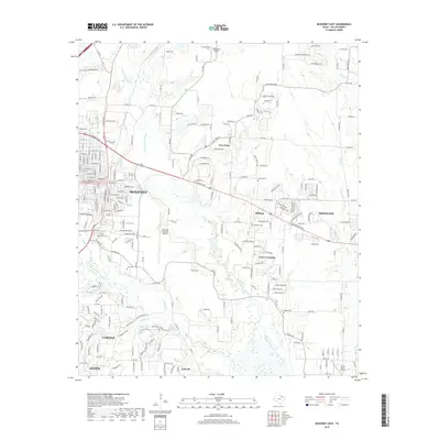
2019 Map of McKinney East
USGS Topo · Published 2019About this map
The E Fork Trinity River and its tributaries, including Clemons Cr and Wilson Cr, dictate the geography of this rapidly growing corridor east of McKinney. This map documents a transitional landscape where suburban expansion from Allen and Fairview meets the rural roots of settlements like Milligan and Lowry Crossing. Aviation history and infrastructure are prominent, anchored by the McKinney National Airport and smaller fields like Rickman Airport. For genealogists and local historians, the sheet preserves the locations of numerous historic burial grounds, from the large Pecan Grove Cemetery to smaller family and community plots such as Scalf Cem, Johnson Cem, and Higgins Cem. The transport network is defined by major thoroughfares like W University Dr and W Princeton Dr, which link the older established centers to newer residential developments.
Find a feature on this map
34 named features on this map. Tap any name to fly to it.
Don’t see what you’re looking for? This feature index may not catch every label — zoom into the map to look around manually.
Map Details
Editions of this 2019 McKinney East Map
This is the sole edition of this map. No revisions or reprints were ever made.
Other maps of this area

1924 · Farmersville 3-c
USGS Topo · 1:48,000

1924 · Mc Kinney 4-d
USGS Topo · 1:48,000

1929 · McKinney
USGS Topo · 1:62,500

1930 · Farmersville
USGS Topo · 1:62,500

1954 · Sherman
USGS Topo · 1:250,000

1958 · Sherman
USGS Topo · 1:250,000

1959 · Wylie
USGS Topo · 1:24,000

1960 · McKinney East
USGS Topo · 1:24,000

1960 · Plano
USGS Topo · 1:24,000

1960 · Blue Ridge
USGS Topo · 1:24,000