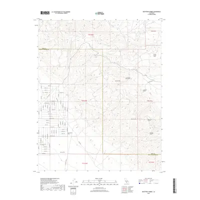
2018 Map of McKittrick Summit
USGS Topo · Published 2018About this map
The San Andreas Fault cuts a visible path through the high desert of the Temblor Range on this 2018 survey. Situated at the boundary of Kern and San Luis Obispo counties, the landscape transitions from the broad Carrizo Plain to the broken peaks of McKittrick Summit. The terrain is marked by a complex network of canyons and valleys, including Aramburu Canyon and Little Santa Maria Valley, which channel intermittent drainages like Temblor Cr and San Diego Cr.
Find a feature on this map
75 named features on this map. Tap any name to fly to it.
Don’t see what you’re looking for? This feature index may not catch every label — zoom into the map to look around manually.
Map Details
Editions of this 2018 McKittrick Summit Map
This is the sole edition of this map. No revisions or reprints were ever made.
Other maps of this area
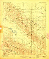
1912 · McKittrick
USGS Topo · 1:125,000
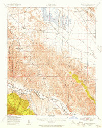
1941 · Caliente Mountain
USGS Topo · 1:62,500
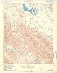
1942 · Caliente Mtn
USGS Topo · 1:62,500
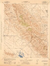
1943 · Simmler
USGS Topo · 1:62,500
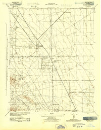
1943 · Belridge
USGS Topo · 1:31,680
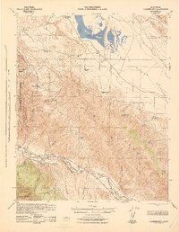
1943 · Caliente Mtn.
USGS Topo · 1:62,500
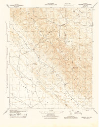
1944 · Panorama Hills
USGS Topo · 1:31,680
1948 · Bakersfield
USGS Topo · 1:250,000
1950 · Reward
USGS Topo · 1:24,000
1951 · Reward
USGS Topo · 1:24,000