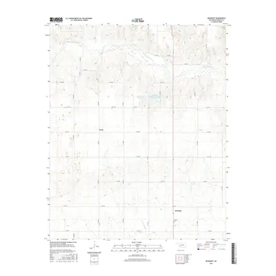
2016 Map of McKnight
USGS Topo · Published 2016About this map
The Salt Fork Red River meanders across the northern portion of this Harmon County landscape, carving a wide bed through the prairie. In the central plains, the settlement of Sandy sits near the O M Cem, while further south, the community of McKnight is anchored by the McKnight Cem. The geography is defined by its water management and drainage, featuring the Mary Kromer Reservoir and the Lake Hall Oklahoma State Fish and Wildlife Reservoir. Small tributaries like Horse Cr, Bitter Cr, and the E Fork Sandy Cr cross the grid of section roads, illustrating the rural agricultural character of southwest Oklahoma in the early 21st century.
Find a feature on this map
28 named features on this map. Tap any name to fly to it.
Don’t see what you’re looking for? This feature index may not catch every label — zoom into the map to look around manually.
Map Details
Editions of this 2016 McKnight Map
This is the sole edition of this map. No revisions or reprints were ever made.
Other maps of this area

1954 · Plainview
USGS Topo · 1:250,000

1955 · Lawton
USGS Topo · 1:250,000

1958 · Plainview
USGS Topo · 1:250,000
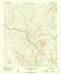
1959 · Shinnery Creek
USGS Topo · 1:24,000
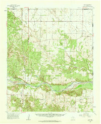
1960 · Loco
USGS Topo · 1:62,500
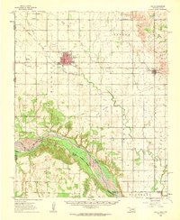
1961 · Hollis
USGS Topo · 1:62,500
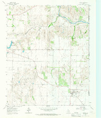
1964 · Dodson
USGS Topo · 1:24,000
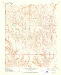
1971 · Madge
USGS Topo · 1:24,000
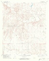
1971 · Vinson
USGS Topo · 1:24,000
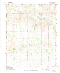
1971 · Mc Knight
USGS Topo · 1:24,000