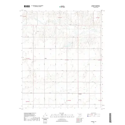
2018 Map of McKnight
USGS Topo · Published 2018About this map
The Salt Fork Red River winds across the northern reaches of this Harmon County landscape, carving a wide path through the Oklahoma terrain. This area is defined by its deep agricultural roots and dispersed settlements, most notably the community of McKnight and the location of Sandy. The township and range system organizes the territory into a rigid grid of rural routes, including E 1510 RD and N 1700 RD, which connect isolated homesteads to local water sources like the Mary Kromer Reservoir and E Fork Sandy Cr. For those tracing local family histories, the map identifies essential burial sites such as McKnight Cem and the O M Cem, providing a precise geographic context for the region's early residents and their connection to the land at the time of this 2018 survey.
Find a feature on this map
37 named features on this map. Tap any name to fly to it.
Don’t see what you’re looking for? This feature index may not catch every label — zoom into the map to look around manually.
Map Details
Editions of this 2018 McKnight Map
This is the sole edition of this map. No revisions or reprints were ever made.
Other maps of this area

1954 · Plainview
USGS Topo · 1:250,000

1955 · Lawton
USGS Topo · 1:250,000

1958 · Plainview
USGS Topo · 1:250,000
1959 · Shinnery Creek
USGS Topo · 1:24,000
1960 · Loco
USGS Topo · 1:62,500
1961 · Hollis
USGS Topo · 1:62,500
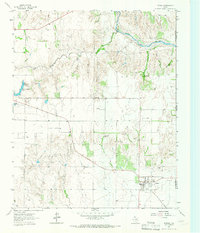
1964 · Dodson
USGS Topo · 1:24,000
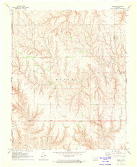
1971 · Madge
USGS Topo · 1:24,000
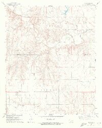
1971 · Vinson
USGS Topo · 1:24,000
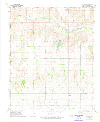
1971 · Mc Knight
USGS Topo · 1:24,000