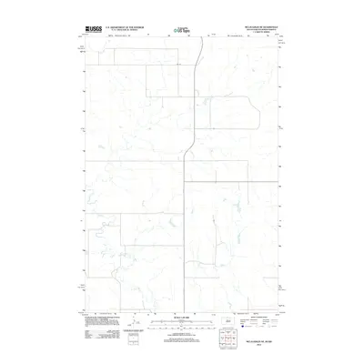
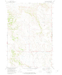
2012 Map of McLaughlin NE
USGS Topo · Published 2012About this map
Oak Creek meanders across this rural expanse of north-central South Dakota, carving subtle drainage patterns through the open plains of the Standing Rock Indian Reservation. This 2012 survey illustrates a landscape dominated by vast agricultural sections and a grid-based transportation network, including the clearly defined corridor of 89th St. The scarcity of named landmarks highlights the quiet, expansive nature of this region along the border of Corson County and Sioux County, North Dakota. The detailed hydrography of Oak Creek and its unnamed tributaries reveals the intricate natural drainage system that dictates the placement of rural roads and farmstead access points in this sparsely populated borderland.
Find a feature on this map
2 named features on this map. Tap any name to fly to it.
Don’t see what you’re looking for? This feature index may not catch every label — zoom into the map to look around manually.
Map Details
Editions of this 2012 McLaughlin NE Map
This is the sole edition of this map. No revisions or reprints were ever made.
Other maps of this area

1953 · McIntosh
USGS Topo · 1:250,000
1954 · Bismarck
USGS Topo · 1:250,000
1958 · Bismarck
USGS Topo · 1:250,000

1958 · McIntosh
USGS Topo · 1:250,000
1966 · McLaughlin
USGS Topo · 1:24,000
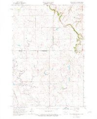
1966 · McLaughlin NE
USGS Topo · 1:24,000
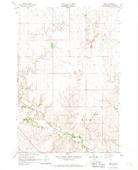
1966 · Mahto
USGS Topo · 1:24,000
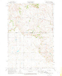
1966 · Mahto NW
USGS Topo · 1:24,000
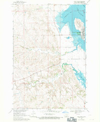
1968 · Fort Yates
USGS Topo · 1:24,000
1971 · Selfridge SE
USGS Topo · 1:24,000