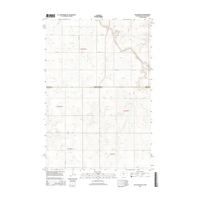
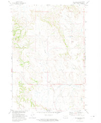
2015 Map of McLaughlin NE
USGS Topo · Published 2015About this map
The state line between North Dakota and South Dakota bisects this prairie landscape, marking the transition between the rolling uplands of Sioux County and the northern reaches of Corson County. The terrain is defined by the winding course of Oak Creek and its tributary Oak Cr, which carve subtle drainage patterns through the agricultural sections. A rigid grid of section lines and rural roads, such as 100th St SW and 263rd Ave, provides the primary structure for land division across the townships of t129n r81w and t23n r26e. This 2015 survey reflects a sparsely populated ranching and farming environment where topography and property boundaries dictate the rhythm of the land.
Find a feature on this map
21 named features on this map. Tap any name to fly to it.
Don’t see what you’re looking for? This feature index may not catch every label — zoom into the map to look around manually.
Map Details
Editions of this 2015 McLaughlin NE Map
This is the sole edition of this map. No revisions or reprints were ever made.
Other maps of this area

1953 · McIntosh
USGS Topo · 1:250,000
1954 · Bismarck
USGS Topo · 1:250,000
1958 · Bismarck
USGS Topo · 1:250,000

1958 · McIntosh
USGS Topo · 1:250,000
1966 · McLaughlin
USGS Topo · 1:24,000
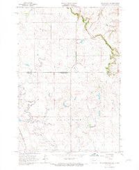
1966 · McLaughlin NE
USGS Topo · 1:24,000
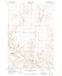
1966 · Mahto
USGS Topo · 1:24,000
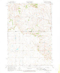
1966 · Mahto NW
USGS Topo · 1:24,000
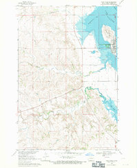
1968 · Fort Yates
USGS Topo · 1:24,000
1971 · Selfridge SE
USGS Topo · 1:24,000