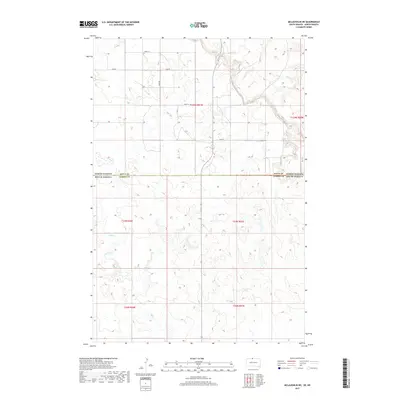
2017 Map of McLaughlin NE
USGS Topo · Published 2017About this map
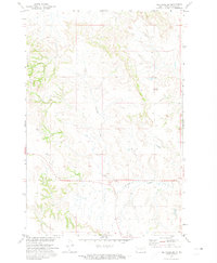
Oak Creek meanders across this rural landscape, crossing the state line where Sioux Co, North Dakota meets Corson Co, South Dakota. This interior border region is defined by its Public Land Survey System organization, including portions of t129n r81w and t23n r26e. The terrain is marked by a sparse network of section-line roads, including 100th St and 22nd Ave, which provide the primary access to the scattered homesteads and agricultural tracts of this high plains environment. The map details the subtle drainage patterns of Oak Cr as it flows southeast, revealing the natural hydrology that has dictated land use in this part of the Standing Rock Reservation area. Researchers will find precise township and range boundaries that illustrate how the land was partitioned for settlement and grazing during the late nineteenth and early twentieth centuries.
Find a feature on this map
14 named features on this map. Tap any name to fly to it.
Don’t see what you’re looking for? This feature index may not catch every label — zoom into the map to look around manually.
Map Details
Editions of this 2017 McLaughlin NE Map
This is the sole edition of this map. No revisions or reprints were ever made.
Other maps of this area

1953 · McIntosh
USGS Topo · 1:250,000
1954 · Bismarck
USGS Topo · 1:250,000
1958 · Bismarck
USGS Topo · 1:250,000

1958 · McIntosh
USGS Topo · 1:250,000
1966 · McLaughlin
USGS Topo · 1:24,000
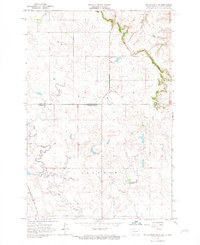
1966 · McLaughlin NE
USGS Topo · 1:24,000
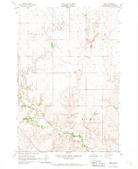
1966 · Mahto
USGS Topo · 1:24,000
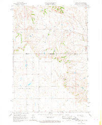
1966 · Mahto NW
USGS Topo · 1:24,000
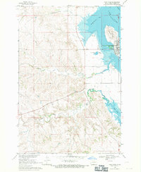
1968 · Fort Yates
USGS Topo · 1:24,000
1971 · Selfridge SE
USGS Topo · 1:24,000