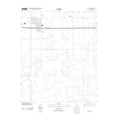
2012 Map of McLean
USGS Topo · Published 2012About this map
McLean serves as the central hub of this High Plains landscape, situated along the corridor of Interstate 40 and its Frontage Rd. The town's historic street grid is clearly delineated, featuring a sequence of numbered streets from 1st St to 8th St and named thoroughfares such as Walnut St and Mc Carty St. On the northwestern edge of the community, Hillcrest Cem sits near Country Club Rd, while the McLean/Gray County Airport facilitates regional transit to the northeast.
Find a feature on this map
54 named features on this map. Tap any name to fly to it.
Don’t see what you’re looking for? This feature index may not catch every label — zoom into the map to look around manually.
Map Details
Editions of this 2012 McLean Map
This is the sole edition of this map. No revisions or reprints were ever made.
Other maps of this area

1954 · Amarillo
USGS Topo · 1:250,000

1958 · Amarillo
USGS Topo · 1:250,000

1959 · Troublesome Creek
USGS Topo · 1:24,000

1959 · Spencer Lake
USGS Topo · 1:24,000

1962 · Hudgens Ranch
USGS Topo · 1:24,000

1962 · Back
USGS Topo · 1:24,000

1962 · Pakan
USGS Topo · 1:24,000

1963 · Alanreed
USGS Topo · 1:24,000

1963 · Ramsdell
USGS Topo · 1:24,000

1963 · McLean
USGS Topo · 1:24,000