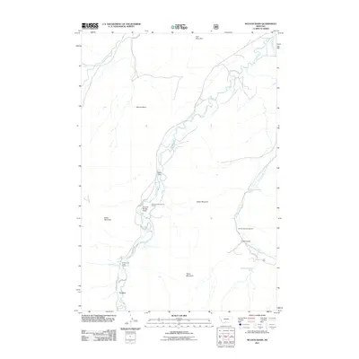
2011 Map of McLeod Basin
USGS Topo · Published 2011About this map
McLeod Basin centers on the confluence of mountain waters where the West Boulder River and East Boulder River join the main flow of the Boulder River. This 2011 survey captures a landscape defined by significant elevation changes, from the heights of Baker Mountain and Tepee Mountain down to the carved drainage of Baker Draw. Near the southern edge of the sheet, the settlement of Contact sits near the Old Kaintuck Guest Ranch, marking a gateway for recreational and ranching activity. A notable geological and recreational highlight is the Natural Bridge Point of Interest, located where the river passes through Natural Bridge Draw. The map also details the remote infrastructure of the area, including the East Boulder Campground and the namesake Coal Mine Rim to the north, illustrating the long-standing intersection of natural resources and public land use in this part of Montana.
Find a feature on this map
25 named features on this map. Tap any name to fly to it.
Don’t see what you’re looking for? This feature index may not catch every label — zoom into the map to look around manually.
Map Details
Editions of this 2011 McLeod Basin Map
This is the sole edition of this map. No revisions or reprints were ever made.
Other maps of this area

1891 · Livingston
USGS Topo · 1:250,000

1893 · Livingston
USGS Topo · 1:250,000

1940 · Mt. Cowen
USGS Topo · 1:62,500

1941 · Mt Douglas
USGS Topo · 1:62,500

1943 · Mt Douglas
USGS Topo · 1:62,500

1943 · Mt Cowen
USGS Topo · 1:62,500

1947 · Bozeman
USGS Topo · 1:250,000

1948 · Bozeman
USGS Topo · 1:250,000

1951 · Mount Rae
USGS Topo · 1:24,000

1951 · Squaw Peak
USGS Topo · 1:24,000