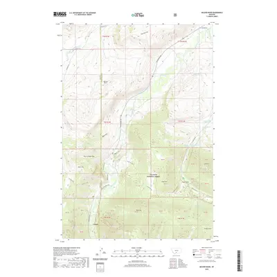
2020 Map of McLeod Basin
USGS Topo · Published 2020About this map
McLeod Basin sits at the confluence of mountain waters and ranching history in the high country of South Central Montana. The Boulder River and its western and eastern branches dominate the landscape, carving through the terrain where the Gallatin National Forest meets the valley floor. Irrigation infrastructure, vital for local agriculture, is well-documented through features like the McLeod Ditch, Mason Ditch, and Craft Ditch. These waterways reflect the historical management of the region's resources for settlement and livestock.
Find a feature on this map
49 named features on this map. Tap any name to fly to it.
Don’t see what you’re looking for? This feature index may not catch every label — zoom into the map to look around manually.
Map Details
Editions of this 2020 McLeod Basin Map
This is the sole edition of this map. No revisions or reprints were ever made.
Other maps of this area

1891 · Livingston
USGS Topo · 1:250,000

1893 · Livingston
USGS Topo · 1:250,000

1940 · Mt. Cowen
USGS Topo · 1:62,500

1941 · Mt Douglas
USGS Topo · 1:62,500

1943 · Mt Douglas
USGS Topo · 1:62,500

1943 · Mt Cowen
USGS Topo · 1:62,500

1947 · Bozeman
USGS Topo · 1:250,000

1948 · Bozeman
USGS Topo · 1:250,000

1951 · Mount Rae
USGS Topo · 1:24,000

1951 · Squaw Peak
USGS Topo · 1:24,000