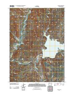
2011 Map of McLeod
USGS Topo · Published 2011About this map
Lost Creek Lake dominates the central landscape of this 2011 survey, a significant reservoir formed by the Lost Creek Dam along the upper reaches of the Rogue River. Near the base of the dam, the small settlement of McLeod serves as a local hub, situated adjacent to the specialized Cole M Rivers Fish Hatchery. The map captures a moment of modern water management and recreation, where the Takelma Park Picnic Area sits on the western shore of the lake opposite the high ridges of Fawn Butte.
Find a feature on this map
37 named features on this map. Tap any name to fly to it.
Don’t see what you’re looking for? This feature index may not catch every label — zoom into the map to look around manually.
Map Details
Editions of this 2011 McLeod Map
This is the sole edition of this map. No revisions or reprints were ever made.
Other maps of this area
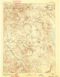
1891 · Ashland
USGS Topo · 1:250,000
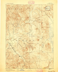
1893 · Ashland
USGS Topo · 1:250,000
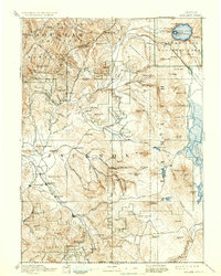
1897 · Ashland
USGS Topo · 1:250,000
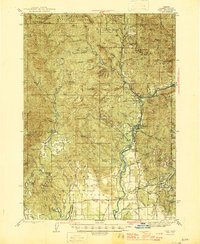
1943 · Trail
USGS Topo · 1:62,500
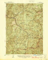
1944 · Tiller
USGS Topo · 1:62,500
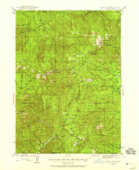
1944 · Abbott Butte
USGS Topo · 1:62,500
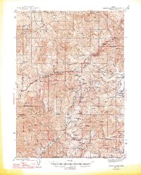
1947 · Abbott Butte
USGS Topo · 1:62,500
1954 · Butte Falls
USGS Topo · 1:62,500

1955 · Medford
USGS Topo · 1:250,000
1957 · Medford
USGS Topo · 1:250,000