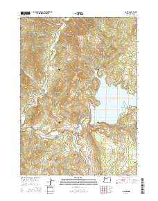
2014 Map of McLeod
USGS Topo · Published 2014About this map
McLeod serves as a central point in this northern Jackson County landscape, where the Rogue River meets the expansive waters of Lost Creek Lake. The area's geography is defined by significant water management and recreation features, including the Elk Creek Reservoir and the Elk Creek Lake project area. The topography is marked by distinct summits such as Tatouche Peak, Burnt Peak, and the oddly named Camel Hump. Transportation and access are facilitated by Highway 62, which follows the river's path, and various forest roads like Middle Creek Rd and Old Elk Creek Rd. The presence of the Rogue River Trl and the Trail Area indicates a landscape dedicated to public access and land management, while local landmarks like Berrian Spring and Yellow Rock provide specific points of interest for those studying the natural history of the Upper Rogue region.
Find a feature on this map
49 named features on this map. Tap any name to fly to it.
Don’t see what you’re looking for? This feature index may not catch every label — zoom into the map to look around manually.
Map Details
Editions of this 2014 McLeod Map
This is the sole edition of this map. No revisions or reprints were ever made.
Other maps of this area

1891 · Ashland
USGS Topo · 1:250,000

1893 · Ashland
USGS Topo · 1:250,000

1897 · Ashland
USGS Topo · 1:250,000

1943 · Trail
USGS Topo · 1:62,500

1944 · Tiller
USGS Topo · 1:62,500

1944 · Abbott Butte
USGS Topo · 1:62,500

1947 · Abbott Butte
USGS Topo · 1:62,500

1954 · Butte Falls
USGS Topo · 1:62,500

1955 · Medford
USGS Topo · 1:250,000

1957 · Medford
USGS Topo · 1:250,000