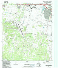
1994 Map of McMillan Mountains
USGS Topo · Published 1994About this map
Fort Hood Military Reservation dominates this central Texas landscape, where the sprawling military facility meets the growing residential fringes of Killeen and Copperas Cove. Centered on the Robert Gray Army Airfield, the map reveals the complex intersection of federal land and local community development in the early 1990s. The terrain is defined by several prominent rises, including Sevenmile Mountain, Ivy Mountain, and the namesake McMillan Mountains.
Find a feature on this map
39 named features on this map. Tap any name to fly to it.
Don’t see what you’re looking for? This feature index may not catch every label — zoom into the map to look around manually.
Map Details
Editions of this 1994 McMillan Mountains Map
This is the sole edition of this map. No revisions or reprints were ever made.
Other maps of this area

1893 · Georgetown
USGS Topo · 1:125,000
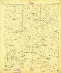
1894 · Gatesville
USGS Topo · 1:125,000
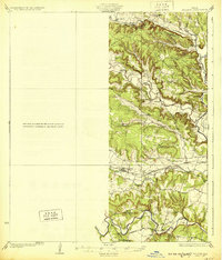
1930 · Killeen
USGS Topo · 1:62,500
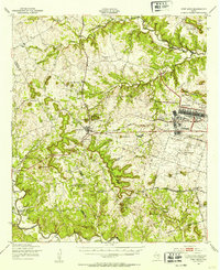
1947 · Fort Hood
USGS Topo · 1:62,500
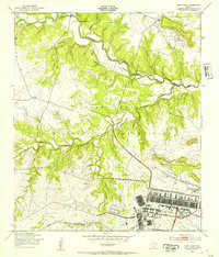
1947 · Fort Hood
USGS Topo · 1:24,000
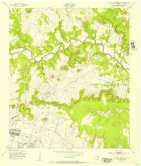
1947 · Post Oak Mountain
USGS Topo · 1:24,000
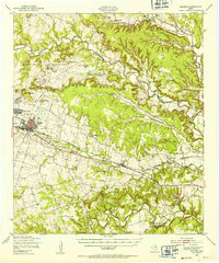
1947 · Killeen
USGS Topo · 1:62,500
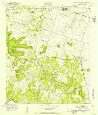
1947 · McMillan Mountains
USGS Topo · 1:24,000
1947 · Killeen
USGS Topo · 1:24,000
1947 · Twin Moutains
USGS Topo · 1:24,000